


Main Cities of Centre
Geography
The city of Yaoundé is located in the south of the Central region and is 250 km east of the coast of the Gulf of Biafra . This mountain site 3 is divided into three topographic units inscribed in a Precambrian gneiss bedrock: the barrier of inselbergs in the northwest dominated by the Mbam Minkom mountains (1,295 m ) and Mount Nkolodom (1,221 m ) and in the southwest with Mount Eloundem (1,159 m ); a group of hills 600 to 700 m above sea level and plateaus; the valleys also called élobis . The different districts are arranged according to the rugged terrain of the city's site. Roads and buildings are mainly developed on the heights of the various hills, while the marshy lowlands often give way to subsistence agriculture, vegetation and numerous small watercourses. Some of these are the Mfoundi, Ékozoa, Biyeme and Mefou rivers. Near the administrative centre of Yaoundé is a lake called " Lac municipal de Yaoundé ", created in 1951-1952. The marshy lowlands are also a land reserve for the development of precarious housing: the geographer Martin Luther Djatcheu has shown how this type of self-built housing developed in the flood-prone parts of the city, following the strong population growth 4 .Climate
The city of Yaounde is located in a tropical savannah climate characterized by many months of heavy rains. The dry season extends from late November to February. The rainy season sees a decrease in rainfall in July and August. The climate of Yaoundé is tropical, although tempered by altitude, with a dry season from December to February and a rainy season from March to November. Rainfall decreases somewhat in July and August, although the sky is often cloudy. The average temperature of the coldest month (August) is 23.2°C, that of the warmest month (February) is 25.8°C. The precipitation totals 1540 millimeters per year: it is therefore abundant. In the least rainy months (January, December) it amounts to 20 mm, in the wettest month (October) it amounts to 295 mm. Here is the average precipitation.Geography
The town is located near the Sanaga River, on national road 1 , 67 km southwest of the departmental capital Nanga-Eboko and 97 km north of the capital Yaoundé (Place du 20 mai). Neighboring municipalities of Mbandjock Ntui Yoko Nanga-Eboko Batchenga Mbandjock Nkoteng Edzendouan Esse Lembe-YezoumHistory
The district of Mbandjock was established in 1968.Population
At the time of the 2005 census, the commune had 21,076 inhabitants 1 , including 18,771 for the town of Mbandjock.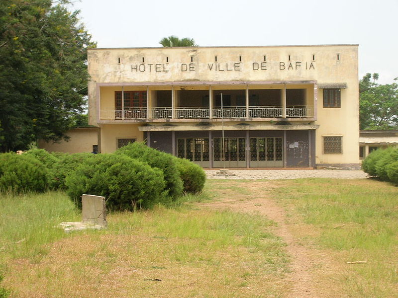
Geography
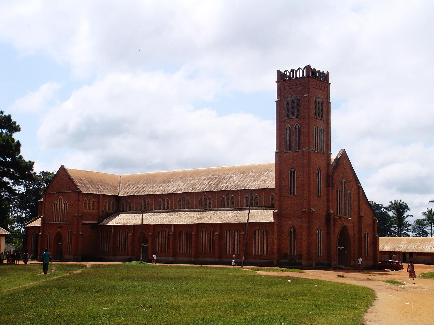
The town of Bafia is served by national road 4 (Obala-Bafoussam axis) 124 km north of the capital Yaoundé, the commune extends on the right bank and south of the Mbam river . Communes bordering Bafia Kon-Yambetta Deuk Ngoro Kiiki Bafia Ombessa Kiiki Kiiki OmbessaHistory
Origin of the name
The Germans, while crossing the Mbam region, stopped on the high plateau of the region that we now call Bafia. Not knowing how to designate this magnificent region, they asked a native who was there, returning from a hunting trip, "what is the name of this place?" The hunter, who did not understand the question, thought instead that his hosts were asking him his name. " ufino yamè yo lomo: Bofia Nkano " ("My name is Bofia Nkano"). Hence the name Bafia given to the place.
Bibey is a commune in Cameroon located in the Centre region and the Haute-Sanaga department .
Awaé is a commune in Cameroon , located in the Centre region and the Méfou-et-Afamba department , on a central axis linking Douala to the border with the Central African Republic , about 50 km from Yaoundé , by the N°10. It is a major crossroads in the region of the Mvele ethnic group . It often serves as a rest area for travelers going to Akonolinga , Ayos , or Lomié towards the border, in the East region .
Nkoteng is a commune of Cameroon located in the Centre region and the Haute -Sanaga department .